Bali from the air is stunning: the Uluwatu cliffs, terraced rice fields, the quiet north coast. But flying a drone here is no longer just about finding a good angle. Three layers of rules apply at once: national aviation regulation, airport safety zones, and village customary law. This guide covers what travellers and creators need to know before flying in Bali in 2026.
Registering Your Drone and Pilot Profile on SIDOPI-GO
Unmanned aircraft operations are regulated by the Ministry of Transportation through the Directorate General of Civil Aviation, with Ministerial Regulation No. 37 of 2020 as the main reference. Drone and pilot registration is handled on the official SIDOPI-GO platform.
- Registration targets drones weighing roughly 250 grams to 25 kg, which covers almost every popular consumer model.
- Prepare your passport or ID, the drone serial number, and device specifications when registering.
- Do it well before you travel; verification takes time and cannot be rushed at an airport counter.
- Commercial flying for advertising, film or survey work usually requires an additional operating approval, not just registration.
Altitude Limits and Basic Rules
- The general ceiling is 120 metres (400 feet) above ground level without special permission.
- The drone must stay within visual line of sight (VLOS) — no binoculars, no disappearing behind a ridge.
- Keep a safe distance from crowds, buildings and vehicles. Never fly over groups of people.
- Avoid flying at night, in rain, or in the strong winds along Bali's southern cliffs.
No-Fly Zones: Ngurah Rai KKOP and Critical Sites
This is where most tourists get into trouble. I Gusti Ngurah Rai International Airport (Google Maps) sits on the narrow neck between Kuta and Jimbaran, so its Flight Operations Safety Zone (KKOP) blankets the busiest tourist areas: Kuta, Legian, Tuban, Kedonganan, Jimbaran, Nusa Dua, parts of Seminyak and Sanur, and southern Denpasar. Flying there without airport authority permission breaches Law No. 1 of 2009 on Aviation.
Also avoid military areas, national strategic sites, power plants, ports and government complexes. Penalties can include drone confiscation and fines, and criminal proceedings if flight safety is judged to be endangered; always check the latest rules from the DGCA and AirNav before you fly.
Temples, Ceremonies and Customary Villages
The second layer is customary law. Bali Governor's Circular No. 7 of 2025 reaffirms that foreign visitors must respect sacred sites and local rules. Some villages set their own policy: Penglipuran Village in Bangli (Google Maps) prohibits drone flights within its area.
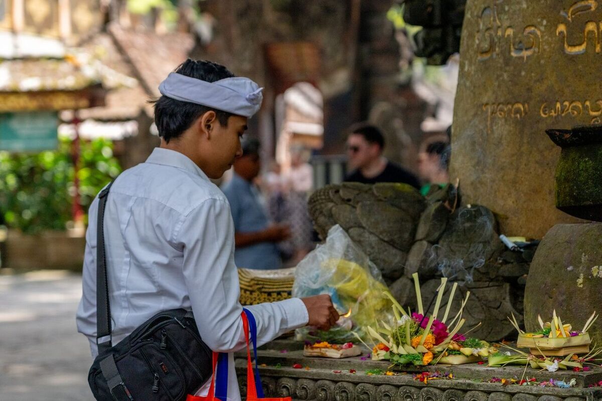
- Never fly over a ceremony: melasti, ngaben, odalan, or any procession heading to a temple.
- During Nyepi everything stops completely, drones included, and the airport itself closes.
- Ask permission from the pemangku (temple priest) or pecalang (customary security officers) before flying near a temple.
- Do not film people at prayer or sacred areas at close range.
Before You Fly: A Practical Checklist
- Check NOTAMs and airspace maps through official channels and your drone app's built-in geo-zones.
- Measure the distance from your launch point to Ngurah Rai Airport on a map. If in doubt, treat it as forbidden.
- Make sure your SIDOPI-GO registration is active and keep proof on your phone.
- Ask the site manager, hotel or landowner for permission; many attractions ban drones or charge a fee.
- Near a temple, ask the pemangku or pecalang and check whether a ceremony is scheduled that day.
- Cancel the flight if there is a procession, a crowd, or worsening weather.
Areas Generally More Relaxed for Aerial Photography
Outside the airport radius and away from major temple complexes, some areas are comparatively easier — still with local permission:
- Sidemen, Karangasem — a rice valley framed by Mount Agung (Google Maps).
- Munduk, Buleleng — coffee hills and waterfalls in the north (Google Maps).
- Amed, Karangasem — black sand beaches and fishing jukung boats (Google Maps).
- Pemuteran, Buleleng — a calm bay on the north-west tip (Google Maps).
Because the best aerial locations sit far from the crush of Kuta, staying nearby makes golden hour sessions far easier to catch. Browse AccessiaPass hotel vouchers for northern, eastern and highland Bali, then put the savings towards a rental car, spare batteries and the patience to wait out the weather.




Bình luận 0
Chưa có bình luận nào. Hãy là người đầu tiên bình luận!